Album: How I flew back-and-forth
 |
 |
|

|
||
 |
July 2008, by Jaro Nemčok ©nemcok.sk
|
 |
 |
download: original 
|
 |
 |
 |
Album: How I flew back-and-forth
| 44 views | Average rating: |
Where is it?
Add to my favorites

 | Please login to comment |
This page has been last changed on May 2009
44 views since April 2009
44 views since April 2009
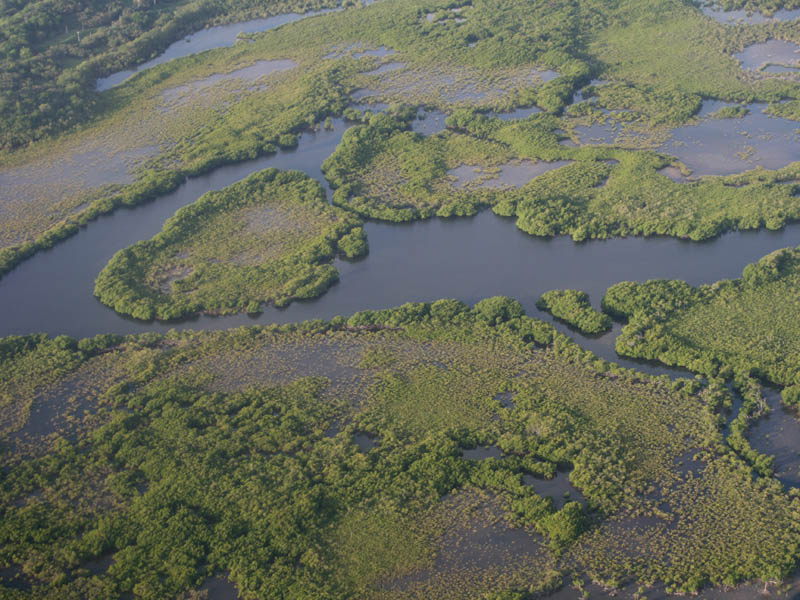
Map-ish appearance of the mangrove forest at the Eastern shore of Puerto Ricoin the air let vo vzduchu
letecké snímky
zábery zo vzduchu, air flight, z vtáčej perspektívy
pohľad z lietadla, fly flight
from the bird perspective, , former Roosevelt Roads Naval Station Roosey Roads, Vojenská stanica letisko, NAPR, US Army, U.S. Navy Base, Airport, , Ceiba mesto mestečko, town, , Eastern východ, East Este, , Puerto Rico PR
porto riko
puetro ricoo
na Portoriku
z Portorika
Portorický, Pto Rico
estado de PR P.R.
Puetro Ricko
Puorto Ricco
Puertorican
Puerto Rican
portorikói
ptorico
puertorico
del Encanto, kolónia
Estado Libre Asociado
Isla Grande
La Isla del Encanto
Borinquen Boriken Borikén Boriquén Boruquén, Commonwelth
Estado Libre Asociado
Main Island
Enchanted Isle , View to: mangrove forest, mangrove mangroves (map), mangrovník porast mangrovníky (mangro) mangrovy (mapa),
© 2000-2024 nemcok.sk
== Copyright Notice ==