nemcok.sk >> Photochronicle >> 2010 >> St. Croix >> Day 1 >> Flying
On the way there VQS-SIG-STT-STX

We went through 4 airports - VQS-SIG-STT-STX, and overflew another one - SJU. Of course, onway we flew over or around uncountable numberislands, islets, and small cays and reefs.
August 2010;
Total 33 photos;
Where is it?
 |
|
 |
|

|
|
 |
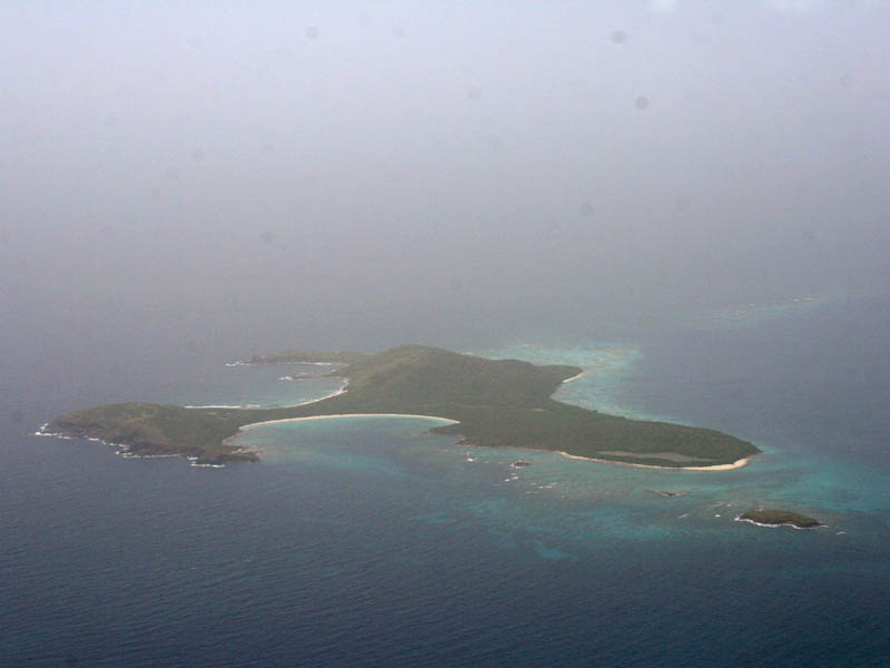
Isla de Ramos near Fajardo
|
 |
 |
|
 |
 |
|
 |
|
|
|
 |
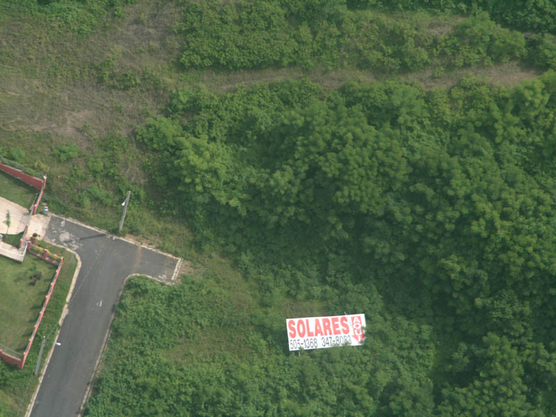
A billboard for airplanes?
|
 |
 |
|
 |
 |
|
 |
|
|
|
 |
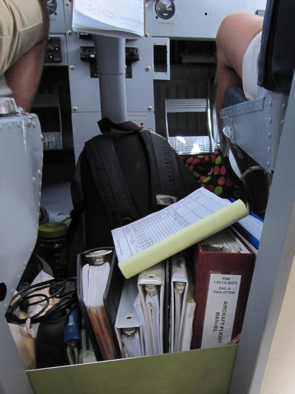
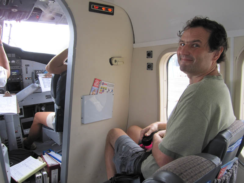
Worth noticing is"Flight Manuel"
|
 |
 |
|
 |
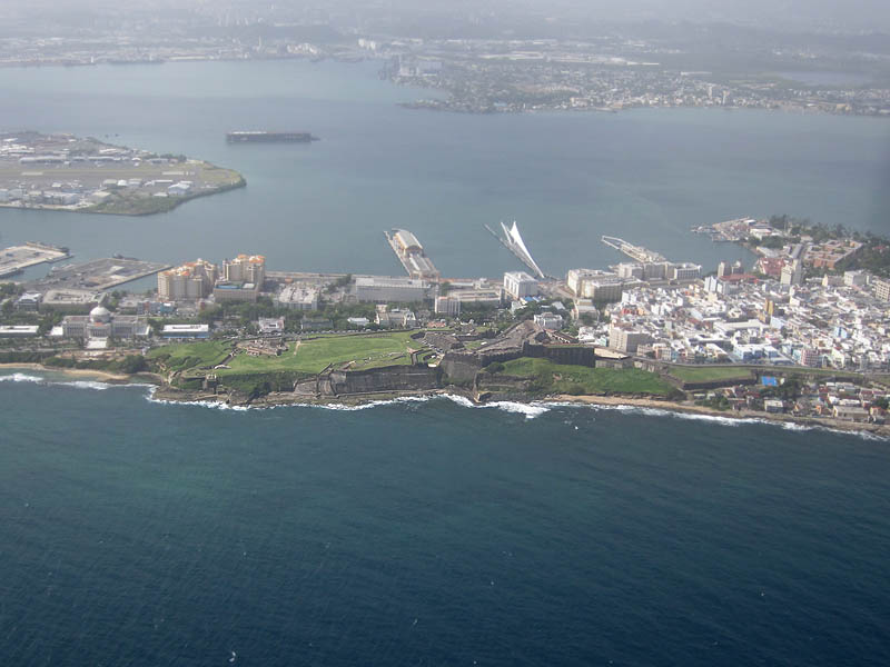
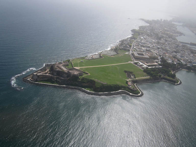
Flying around old San Juan
 |
|
 |
|
|
|
 |
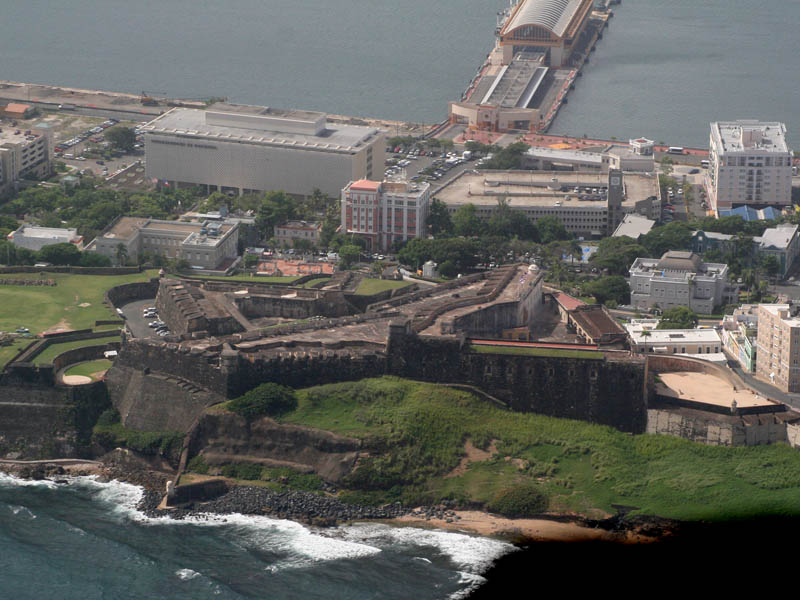
El Capitolio, San Cristobal,port...
|
 |
 |
|
 |
 |
|
 |
|
|
|
 |
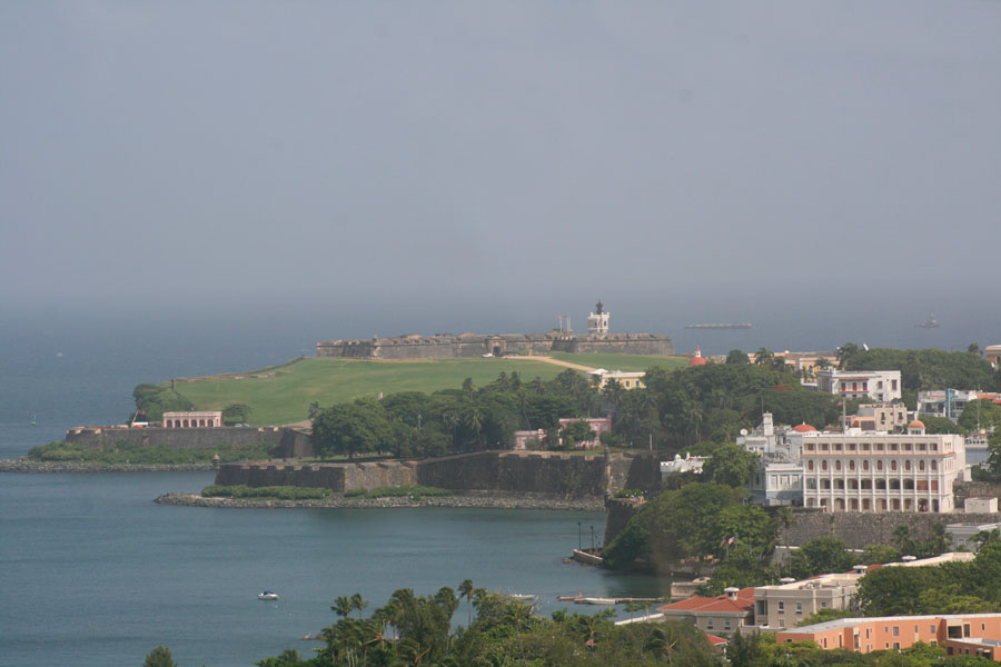
Fort El Morro, green fieldfire, andold town at right
|
 |
 |
|
 |
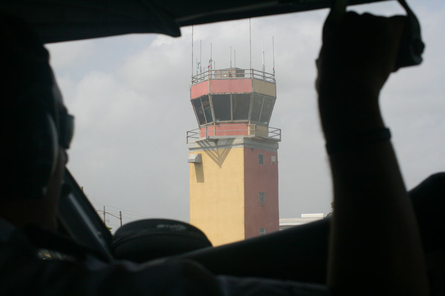
Isla Grande Airport
 |
|
 |
|
|
|
 |
|
 |
 |
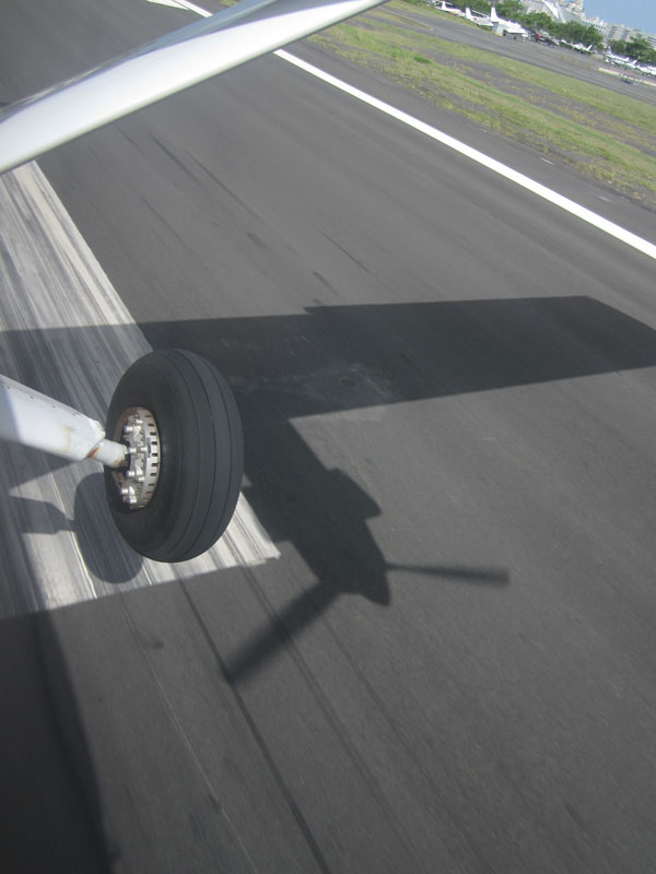
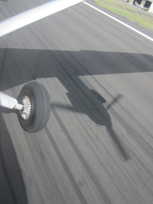
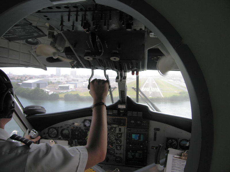
Touchingrunway at Isla Grande Airport
|
 |
 |
|
 |
 |
|
 |
|
|
|
 |
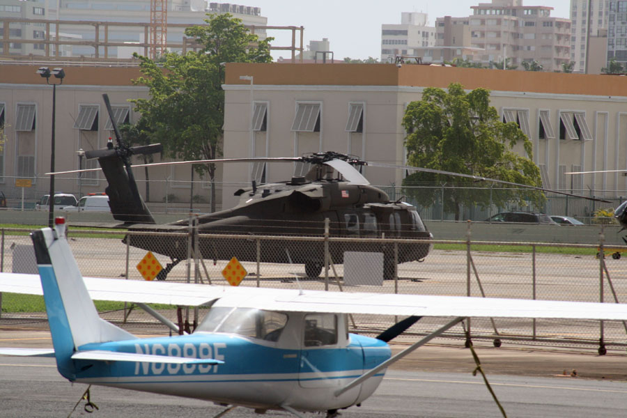
There were military Black Hawk helicopters parked onairport
|
 |
 |
|
 |
Leaving Isla Grande
 |
|
 |
|
|
|
 |
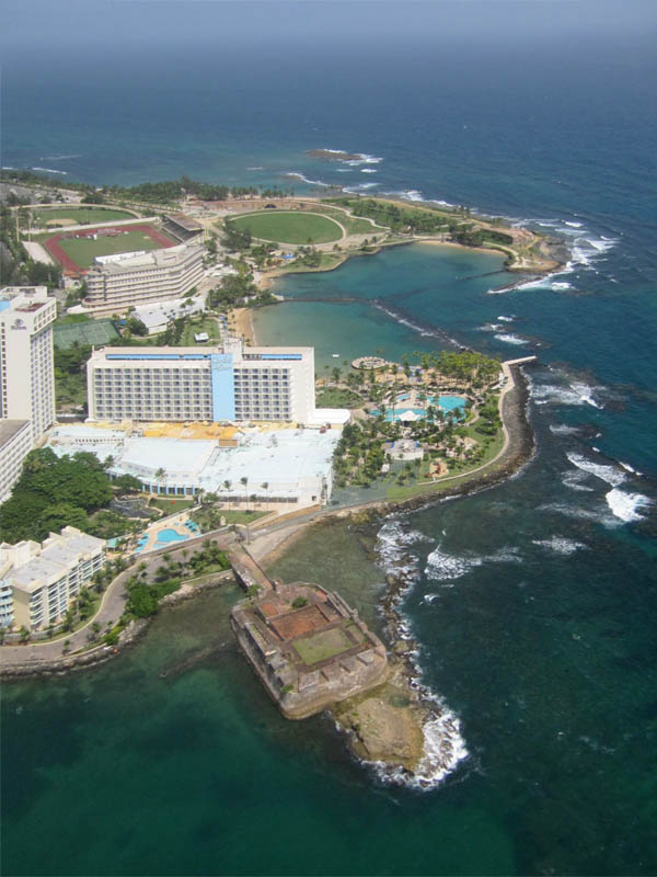
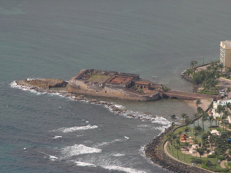
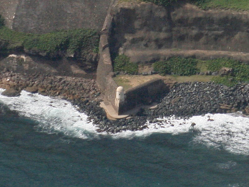
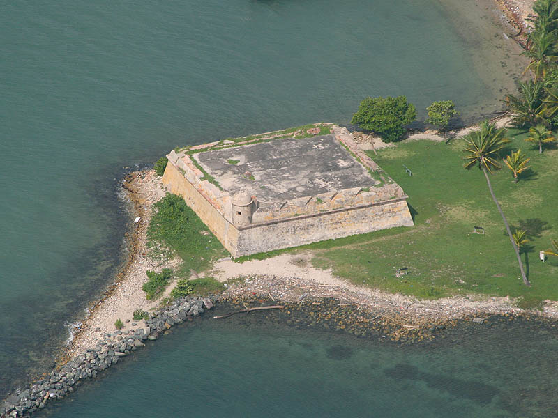
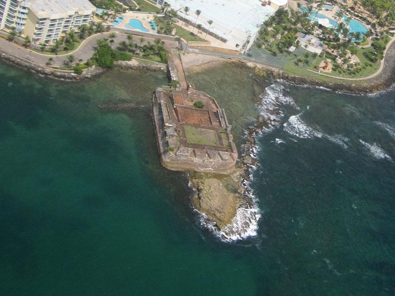
San Geronimo Fort, Caribe Hilton Hotel,Escambrón
|
 |
 |
|
 |
Towards Culebra
 |
|
 |
|
|
|
 |
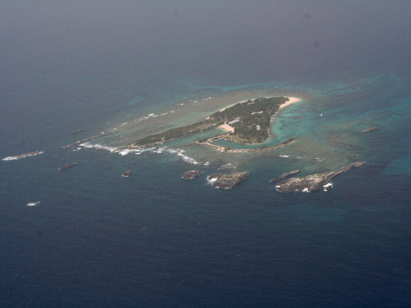
Islet near Icacos, owned by Ricky Martin
|
 |
 |
|
 |
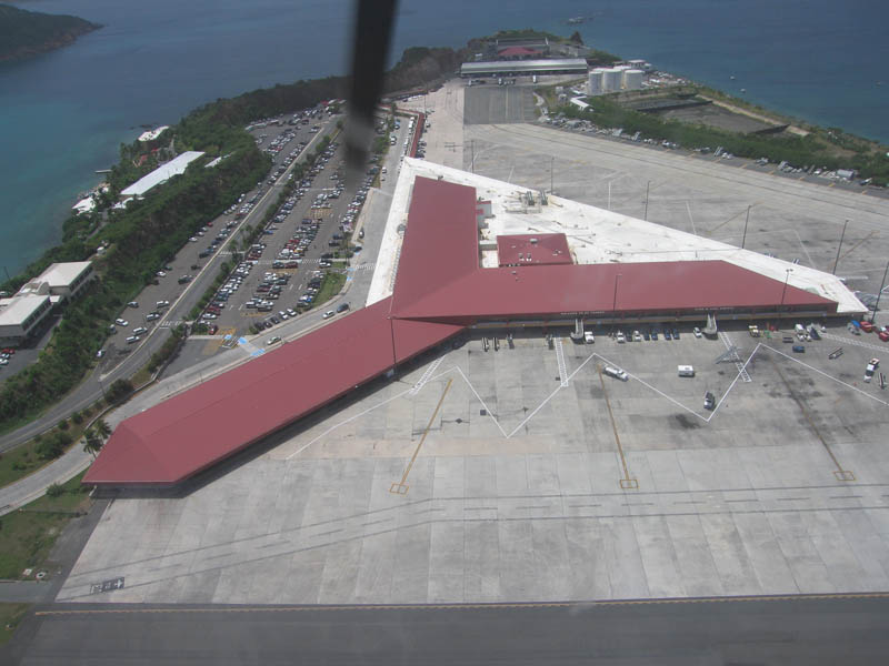
St. Thomas
 |
|
 |
|
|
|
 |
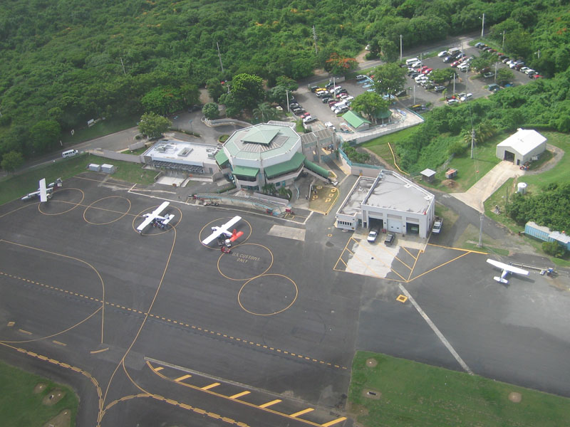
Departing from Cyril E. King Airport at St. Thomas
|
 |
 |
|
 |
 |
|
 |
|
|
|
 |
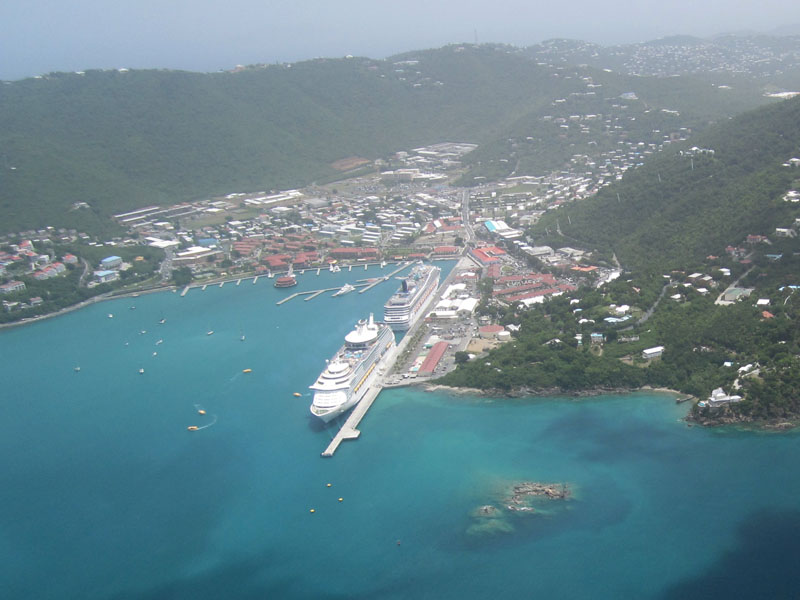
Cruisers anchoredCharlotte Amalie
|
 |
 |
|
 |
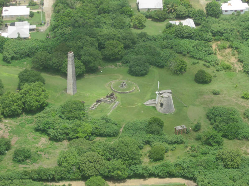
St. Croix
 |
|
 |
|
|
|
 |
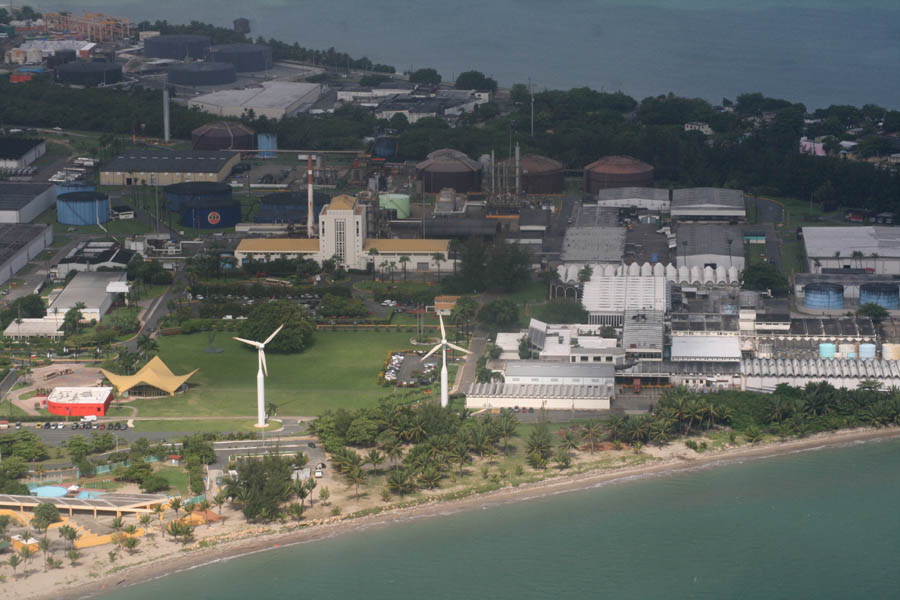
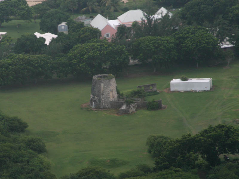
Windmills were used to mill sugar cane
|
 |
 |
|
 |
 |
|
 |
|
|
|
 |
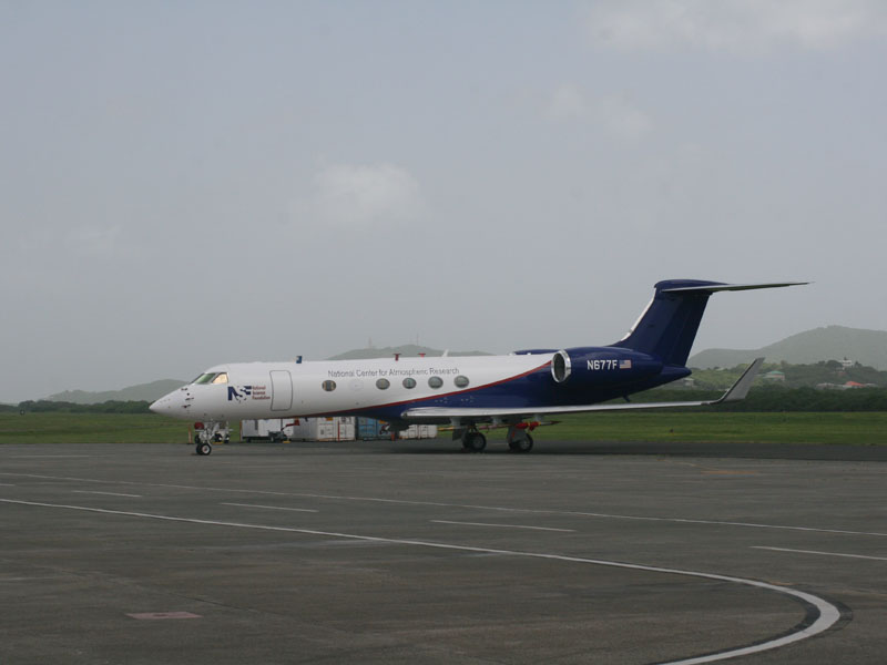
AirplaneNational Center for Atmospheric Research - should we get ready forhurricane?
|
 |
 |
|
 |

Next Album: Hotel and town
There are 2 more pictures in this album visible to registered users
Website Login
FaceBook Connect

OR
OR
This page has been last changed on October 2010
6595 views since September 2010
the air let vo vzduchu
letecké snímky
zábery zo vzduchu, air flight,vtáčej perspektívy
pohľadlietadla, fly flight
frombird perspective, Puerto Rico PR
porto riko
puetro ricooPortorikuPortorika
Portorický, Pto Rico
estado de PR P.R.
Puetro Ricko
Puorto Ricco
Puertorican
Puerto Rican
portorikói
ptorico
puertorico
del Encanto, kolónia
Estado Libre Asociado
Isla Grande
La Isla del Encanto
Borinquen Boriken Borikén Boriquén Boruquén, Commonwelth
Estado Libre Asociado
Main Island
Enchanted Isle , US Virgin Islands USVI US.VI, Karibik, Karibské More, Karibic, Panenský ostrov Pannenské Ostrovy, Isle, Caribbean Sea,
Virgine Islands Island,, On the way there VQS-SIG-STT-STX, Na trase VQS-SIG-STT-STX
© 2000-2025 nemcok.sk
== Copyright Notice ==








































 actual weather in the area
 actual weather in the area
 actual weather in the area
 actual weather in the area